Cal-Sag Trail
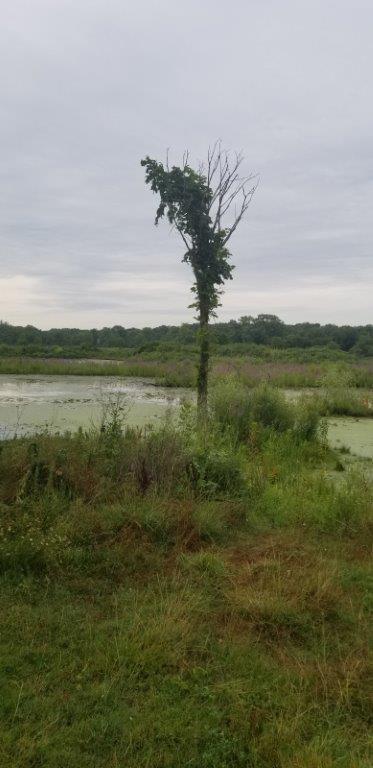
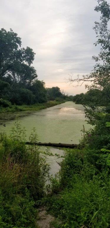
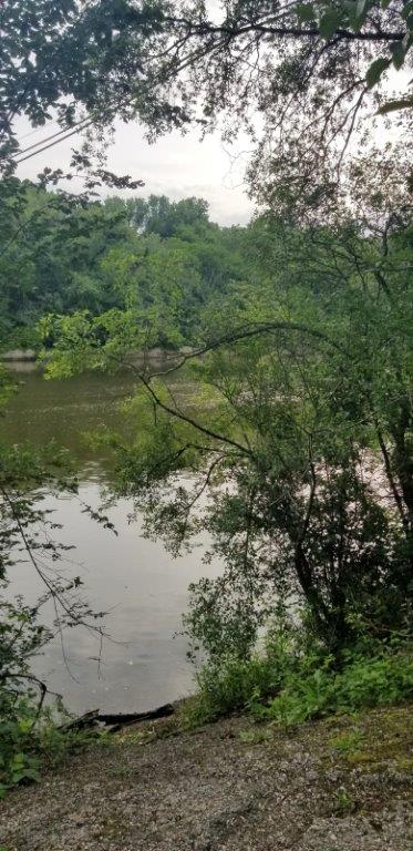
The Cal-Sag Trail consists of over 13 miles of paved trails which meander near the Cal-Sag Channel from Lemont, Illinois in the west to Alsip, Illinois in the east in southwestern Cook County, Illinois through scenic wetlands and forests. Construction of an additional 13 miles to the east has been partially completed from Francisco Avenue and Wireton Road in Blue Island to the Metra Riverdale Station according to Friends of the Cal-Sag Trail; however, some portions such as on Vermont Avenue in Blue Island are designated bike lanes and not trails.
Details
Location
There are a number of parking areas along the trail. The Sag Quarries parking lot (near the intersection of Archer Avenue (Routes 83/171) and Old Archer Avenue in Lemont, Illinois) and Lake Katherine Nature Center (7402 Lake Katherine Drive, Palos Heights, Illinois) parking lot are highly recommended as starting points. A detailed map may be found here.
Managed By
Website(s)
Distance from Downtown Chicago
About 25 miles from the center of town
How To Get There
Accessibility
The trail is accessible, and there are accessible parking spaces.
Things To Do
Biking, Birdwatching, Cross-Country Skiing, Fishing, Hiking, Ice-Fishing, Jogging, Picnicking, Running and Wildflowers.
Fun Facts
This is one of the newest trails in Cook County, Illinois. It opened in 2015.
Other Information
Portable restrooms in season at some of the parking lots.
Eats
At Beauty and the Baker Bakery located at 14045 South Bell Road, Homer Glen, Illinois, be sure to try the delicious but somewhat messy pillow pastry.

Nearby Public Lands Worth Visiting
Best Time To Visit
All year
© 2021 50 Great Public Land Destinations - Chicago and Beyond. All Rights Reserved.


