

Salt Creek Trail
The main section of the Salt Creek Trail meanders for approximately 7 miles along the banks of the Salt Creek through the towns of Brookfield, LaGrange Park and Western Springs. The trail is paved in a bucolic, wooded setting, and exceptionally friendly deer can often be sighted particularly near the eastern end of the trail.


Details
Location
Managed By
Forest Preserves of Cook County
Distance from Downtown Chicago
About 14 miles from the center of town to the eastern end of the trail in Brookfield Woods and 20 miles to the western end of the trail in Bemis Woods
How To Get There
Accessibility
The trail is accessible. There are accessible parking spaces along the trail. Accessible picnic groves are located at Bemis Woods-South, Brezina Woods and Brookfield Woods. These may be reserved online here.
Things To Do
Biking, Birdwatching, Boating, Cross-Country Skiing, Hiking, Inline Skating, Jogging, Picnicking, Running, Watchable Wildlife and Wildflowers
Fun Facts
According to legend, Salt Creek got its name in the 1830s when a wagon hauling supplies got stuck crossing the creek and barrels of salt capsized into the creek.
Other Information
There are a number of parking areas along the trail, and some of them have restrooms nearby.
ONE-WAY BIKING/HIKING OPTIONS WITH MASS TRANSIT: Put your bicycle on the train at Union Station on the BNSF Railway Line and get off at Brookfield which is about 1.5 miles from Brookfield Woods, the eastern terminus of the trail. Ride west as far as Wolf Road or to the western end of the trail and double back to Wolf Road; then ride on Wolf Road south about 1.5 miles to the Western Springs Metra Station on the BNSF Railway Line where trains depart for Union Station. This itinerary can also be done in reverse. Please consult the Overview section for more information on transporting bicycles on mass transit.
Eats
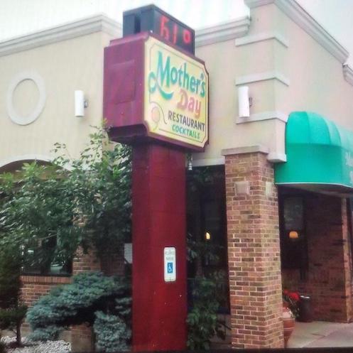
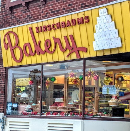
Good takeout breakfasts are available at Mother’s Day Restaurant located at 8815 West Cermak Road in North Riverside, not far from the eastern end of the trail. For a special treat, grab some delicious pastries at Kirschbaum’s Bakery located at 825 Burlington Avenue in Western Springs, not far from the western end of the trail.
Nearby Public Lands Worth Visiting
Brookfield Zoo, the Chicago area’s largest zoo, is located very close to the eastern end of the trail
Best Time To Visit
All year
© 2021 50 Great Public Land Destinations - Chicago and Beyond. All Rights Reserved.