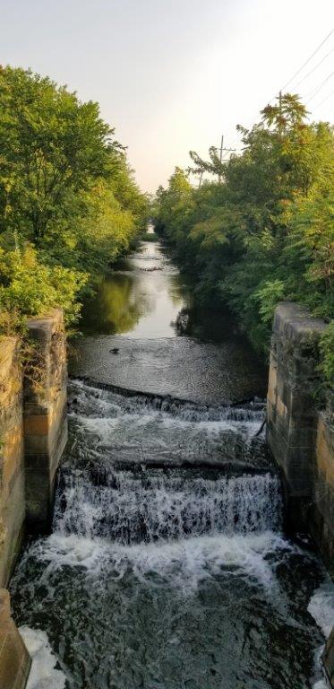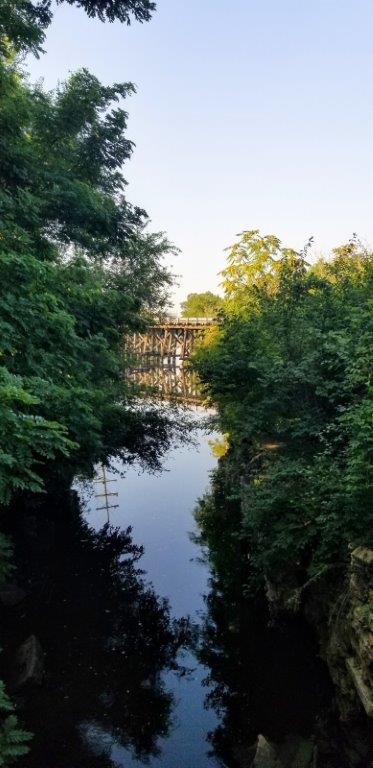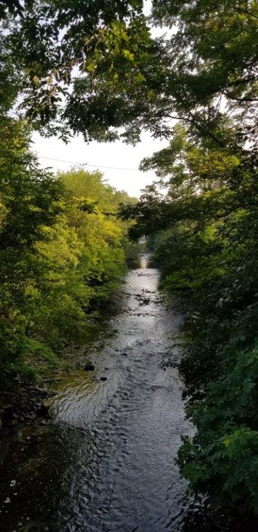
I&M Canal Path
This portion of the I&M Canal Trail traverses 7.57 miles starting in Romeoville, Illinois through Lockport, Illinois and terminating at the Joliet Iron Works Historic Site in Joliet, Illinois. The trail is partially paved and partially crushed limestone.
Details
Location
Northern end at East Romeo Road and I&M Canal in Romeoville, Illinois; southern end near West 2nd Street and American Road in Joliet, Illinois. A map may be found here.
Managed By
Distance from Downtown Chicago
From the center of town 33 miles to the northern end of the trail and 45 miles to the southern end of the trail
How To Get There
Accessibility
Portions of the trail near the centers of Joliet and Lockport are accessible, and there are accessible parking spaces near the trail.
Things To Do
Biking, Cross-Country Skiing, Hiking, Other Features (Snowshoeing), Running and Wildflowers
Fun Facts
French explorer Louis Jolliet first proposed a canal connecting Lake Michigan with the Illinois River in 1673 but the idea was not acted upon until 1836 when construction began. The 96 mile canal opened in 1848.
Other Information
There are restrooms in public parks near the trail. Seasonal bikeshares are available in Lockport at 8th Street at the I&M Canal. Download the Movatic app. Street Routes in Joliet, Illinois connect the trail to the crushed limestone I&M Canal State Trail which begins in Rockdale, Illinois and continues 61 miles to LaSalle, Illinois.
Eats
Grab some fresh cupcakes or Danish rolls before your hike or bike ride from Bitable Baked Goods, located at 1022 S State Street, Lockport, Illinois.

Nearby Public Lands Worth Visiting
Illinois State Museum Lockport Gallery, located at 210 West 10th Street, Lockport, Illinois, features well curated special exhibitions.
Best Time To Visit
All year
© 2021 50 Great Public Land Destinations - Chicago and Beyond. All Rights Reserved.


